|
|
|
Advertisements:
Administrative divisions (765 GPS Maps)
Comments
Add a new comment: |
Advertisement
Members area
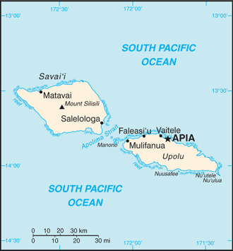
Samoa (Apia):
GPS points from Samoa (Apia)
|
||||||||
|
|
|
Advertisements:
Administrative divisions (765 GPS Maps)
Comments
Add a new comment: |
Advertisement
Members area
Samoa (Apia):
GPS points from Samoa (Apia)
|
||||||||
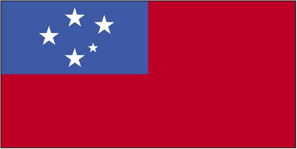
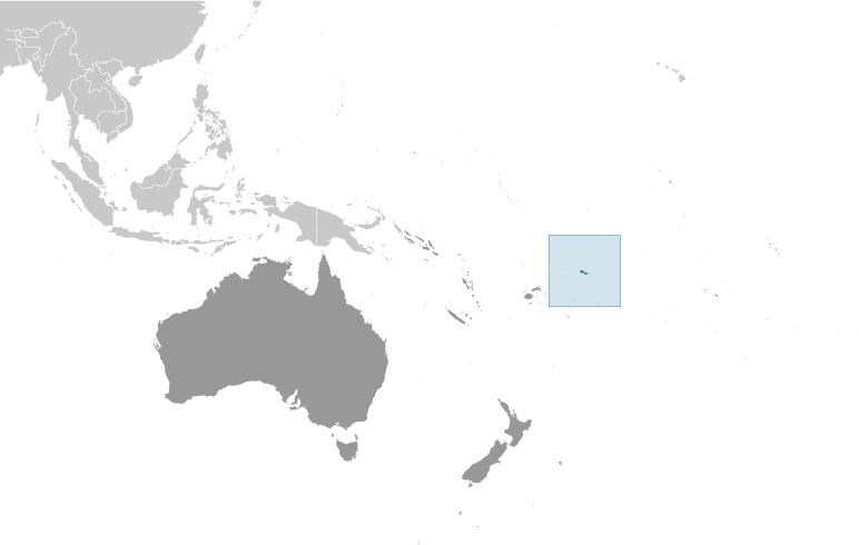
 New Zealand occupied the German protectorate of Western Samoa at the outbreak of World War I in 1914. It continued to administer the islands as a mandate and then as a trust territory until 1962, when the islands became the first Polynesian nation to reestablish independence in the 20th century. The country dropped the "Western" from its name in 1997.