English   Română   Español   Français   Deutsch  

getamap.net

Africa

Oceania

Asia

North America

Europe

South America

Antarctica


Kyenjojo (19 GPS points)


Butiti
Butiti

populated place
Kahunge
Kahunge

populated place
Kakabara
Kakabara

populated place
Katoke
Katoke

populated place
Kawula
Kawula

populated place
Kibale Forest
Kibaleforest

forest(s)
Kibale Forest Reserve
Kibaleforestreserve

forest(s)
Kitega
Kitega

populated place
Kokwa
Kokwa

populated place
Kyanjojo
Kyanjojo

seat of a first-order administrative division
Kyegegwa
Kyegegwa

populated place
Kyenjojo
Kyenjojo

seat of a first-order administrative division
Kyenjojo District
Kyenjojodistrict

first-order administrative division
Kyonjojo
Kyonjojo

seat of a first-order administrative division
Matiri
Matiri

populated place
Mparo
Mparo

populated place
Nabingora
Nabingora

populated place
Nakawala
Nakawala

populated place
Nyamugura
Nyamugura

populated place
# 19 

Comments

--- There are no comments yet ---


Add a new comment:


You have to log in to add a comment!


Advertisement


Members area


Register

Forgot password?

Uganda (Kampala):
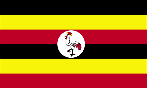
Country Flag
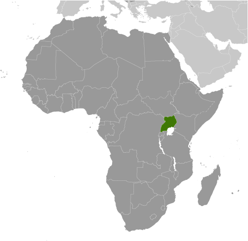
Country Locator

GPS points from Uganda (Kampala)

square Lake Kiamwiga Uganda (general)

square Bubulo Mbale District

square Karujumba Uganda (general)

square Namboko Uganda (general)

square Rubeya Uganda (general)

square Mailye Nakasongola District

square Mujulugo Sembabule District

square Nyarukonge Masindi District


viewweather.com sv.ViewWeather.com
fr.ViewWeather.com
da.ViewWeather.com
de.ViewWeather.com
es.ViewWeather.com
www.carpati.org
www.searchromania.net
Deblocari usi
es.getamap.org
fr.getamap.org
de.getamap.org
nl.getamap.org
da.getamap.org
www.getamap.org
Links
Terms of use
Privacy policy

# 0.0287 sec 

contact AT getamap.net

© 2006 - 2024  https://www.getamap.net/