English   Română   Español   Français   Deutsch  

getamap.net

Africa

Oceania

Asia

North America

Europe

South America

Antarctica


Mpigi (22 GPS points)


Buganga
Buganga

populated place
Bunjako Island
Bunjakoisland

island
Buwama
Buwama

populated place
Central Province
Centralprovince

first-order administrative division
Gombe
Gombe

populated place
Kabulasoke
Kabulasoke

populated place
Kalwanga
Kalwanga

populated place
Kamengo
Kamengo

populated place
Kammengo
Kammengo

populated place
Kanone
Kanone

populated place
Kanoni
Kanoni

populated place
Maddu
Maddu

populated place
Madu
Madu

populated place
Mitala Maria
Mitalamaria

populated place
Mpigi
Mpigi

first-order administrative division
Mpigi
Mpigi

seat of a first-order administrative division
Mpigi District
Mpigidistrict

first-order administrative division
Mpigi Division
Mpigidivision

first-order administrative division
Nabisanke
Nabisanke

populated place
Nabusanke
Nabusanke

populated place


Advertisements Advertisements


Nsangi
Nsangi

populated place
District Of West Mengo
Westmengo Districtof

first-order administrative division
# 22 

Comments

--- There are no comments yet ---


Add a new comment:


You have to log in to add a comment!


Advertisement


Members area


Register

Forgot password?

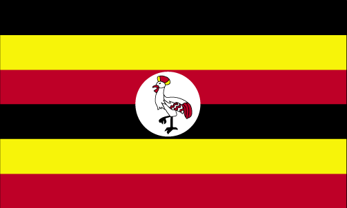
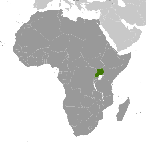
Uganda (Kampala):
Country Flag
Country Locator

GPS points from Uganda (Kampala)

square Kiruna Bugiri District

square Lwentale Sembabule District

square Wazimenyi Bay Uganda (general)

square Kibungo Uganda (general)

square Palatao Kaberamaido District

square Agoro Uganda (general)

square Aranga Yumbe District

square Lamwo County Uganda (general)


viewweather.com sv.ViewWeather.com
fr.ViewWeather.com
da.ViewWeather.com
de.ViewWeather.com
es.ViewWeather.com
www.carpati.org
www.searchromania.net
Deblocari usi
es.getamap.org
fr.getamap.org
de.getamap.org
nl.getamap.org
da.getamap.org
www.getamap.org
Links
Terms of use
Privacy policy

# 0.0274 sec 

contact AT getamap.net

© 2006 - 2024  https://www.getamap.net/