English   Română   Español   Français   Deutsch  

getamap.net

Africa

Oceania

Asia

North America

Europe

South America

Antarctica


Nakasongola (9 GPS points)


Atera
Atera

populated place
Galiraya
Galiraya

populated place
Kakoge
Kakoge

populated place
Kalungi
Kalungi

populated place
Kalungu
Kalungu

populated place
Nakasongola
Nakasongola

first-order administrative division
Nakasongola
Nakasongola

seat of a first-order administrative division
Nakasongola District
Nakasongoladistrict

first-order administrative division
Namasale
Namasale

populated place
# 9 

Comments

--- There are no comments yet ---


Add a new comment:


You have to log in to add a comment!


Advertisement


Members area


Register

Forgot password?

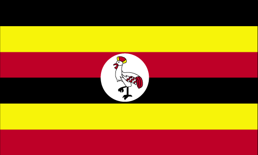
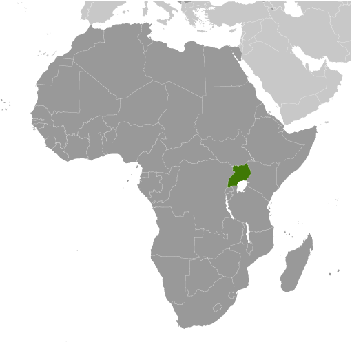
Uganda (Kampala):
Country Flag
Country Locator

GPS points from Uganda (Kampala)

square Warugo Uganda (general)

square Namalimba Kayunga District

square Api Apac District

square Kigarama Kabarole District

square River Namaroda Uganda (general)

square Nske Rakai District

square Kahurukobwire Uganda (general)

square Irera Uganda (general)


viewweather.com sv.ViewWeather.com
fr.ViewWeather.com
da.ViewWeather.com
de.ViewWeather.com
es.ViewWeather.com
www.carpati.org
www.searchromania.net
Deblocari usi
es.getamap.org
fr.getamap.org
de.getamap.org
nl.getamap.org
da.getamap.org
www.getamap.org
Links
Terms of use
Privacy policy

# 0.0260 sec 

contact AT getamap.net

© 2006 - 2024  https://www.getamap.net/