|
|
|
Weather Sant'Andrea (Cloud cover, Temperature, Wind speed and Precipitation mm probab.)
Map and Photos Sant'Andrea
Comments
Add a new comment: |
Members area
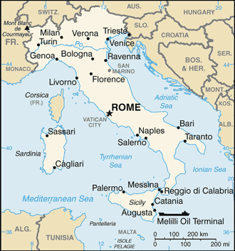
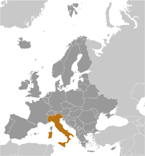
Italy (Rome):
Advertisement
GPS points near Sant'Andrea
 Castel del Rio (1 km)
Cestina (2 km)
Monte della Croce (2 km)
Moraduccio (2 km)
Moraduccio di Valsalva (2 km)
Monte Santa Croce (2 km)
Monte Faggiola (3 km)
Sommorio (4 km)
Tirli (4 km)
Giugnola (5 km)
Rosana (5 km)
Monte Alafine (5 km)
Monte La Fine (5 km)
Carseggio (5 km)
Pezzolo (5 km)
Castagnana (6 km)
Castagnara (6 km)
Castel del Rio (1 km)
Cestina (2 km)
Monte della Croce (2 km)
Moraduccio (2 km)
Moraduccio di Valsalva (2 km)
Monte Santa Croce (2 km)
Monte Faggiola (3 km)
Sommorio (4 km)
Tirli (4 km)
Giugnola (5 km)
Rosana (5 km)
Monte Alafine (5 km)
Monte La Fine (5 km)
Carseggio (5 km)
Pezzolo (5 km)
Castagnana (6 km)
Castagnara (6 km)
GPS points from Italy (Rome)
|