|
|
|
Advertisements:
GeographyLocation
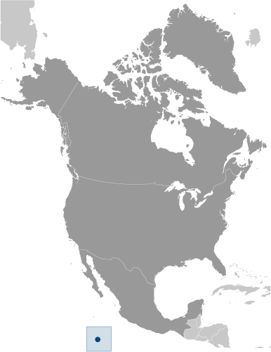
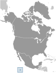
Middle America, atoll in the North Pacific Ocean, 1,120 km southwest of Mexico Geographic coordinates
10 17 N, 109 13 W
Map references
Political Map of the World
Area World Ranking: 244
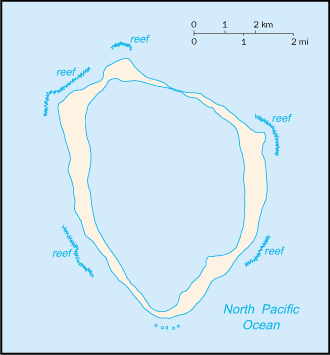
Total 6 sq km
Land 6 sq km Water 0 sq km Area - comparative
About 12 times the size of The Mall in Washington, DC Land boundaries
0 km
Coastline
11.1 km
Maritime claims
Territorial sea 12 nm
Exclusive economic zone 200 nm Climate
Tropical; humid, average temperature 20-32 degrees C, wet season (May to October) Terrain
Coral atoll
Elevation extremes
Lowest point Pacific Ocean 0 m
Highest point Rocher Clipperton 29 m Natural resources
Fish
Land use
Arable land 0%
Permanent crops 0% Other 100% (all coral) (2005) Irrigated land
0 sq km
Natural hazards
NA
Environment - current issues
NA
Geography - note
Reef 12 km in circumference
Comments
Add a new comment: |
Advertisement
Members area
Clipperton Island [ France ]:
  |
||||||||
 This isolated island was named for John CLIPPERTON, a pirate who made it his hideout early in the 18th century. Annexed by France in 1855, it was seized by Mexico in 1897. Arbitration eventually awarded the island to France, which took possession in 1935.