|

Administrative divisions (GPS Maps)
Geography
People and Society
Government
Economy
Communications
Transportation
Military |
 |
 Discovered and claimed for Spain in 1499, Aruba was acquired by the Dutch in 1636. The island's economy has been dominated by three main industries. A 19th century gold rush was followed by prosperity brought on by the opening in 1924 of an oil refinery. The last decades of the 20th century saw a boom in the tourism industry. Aruba seceded from the Netherlands Antilles in 1986 and became a separate, autonomous member of the Kingdom of the Netherlands. Movement toward full independence was halted at Aruba's request in 1990. Discovered and claimed for Spain in 1499, Aruba was acquired by the Dutch in 1636. The island's economy has been dominated by three main industries. A 19th century gold rush was followed by prosperity brought on by the opening in 1924 of an oil refinery. The last decades of the 20th century saw a boom in the tourism industry. Aruba seceded from the Netherlands Antilles in 1986 and became a separate, autonomous member of the Kingdom of the Netherlands. Movement toward full independence was halted at Aruba's request in 1990. |
|
Advertisements
|
Advertisements
|
Administrative divisions (300 GPS Maps)
--- There are no comments yet ---
Add a new comment:
|
Advertisement
Members area
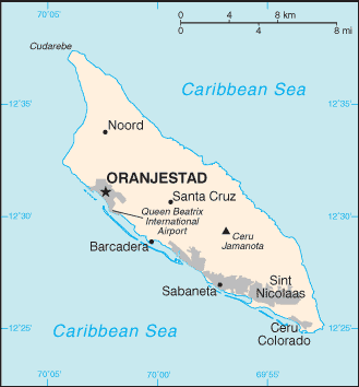
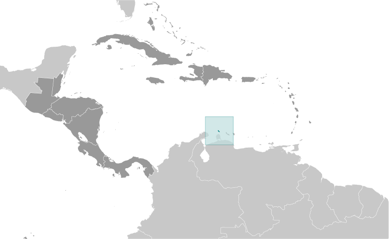
Aruba [ Netherlands ] (Kingdom Of The Netherlands):
GPS points from Aruba [ Netherlands ] (Kingdom Of The Netherlands)
|


 Discovered and claimed for Spain in 1499, Aruba was acquired by the Dutch in 1636. The island's economy has been dominated by three main industries. A 19th century gold rush was followed by prosperity brought on by the opening in 1924 of an oil refinery. The last decades of the 20th century saw a boom in the tourism industry. Aruba seceded from the Netherlands Antilles in 1986 and became a separate, autonomous member of the Kingdom of the Netherlands. Movement toward full independence was halted at Aruba's request in 1990.