|
|
|
Weather Sida (Cloud cover, Temperature, Wind speed and Precipitation mm probab.)
Map and Photos Sida
Comments
Add a new comment: |
Members area
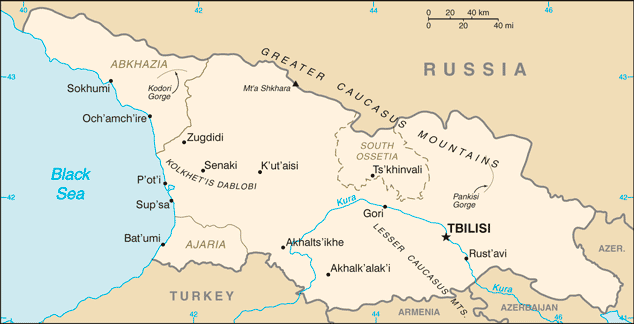
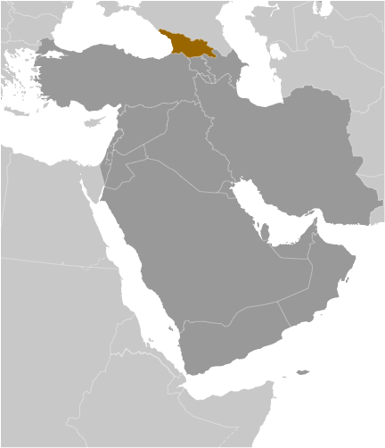
Georgia (Tbilisi):
Advertisement
GPS points near Sida
 Akvarkva (0.5km)
Kinikhori (0.5km)
Olen' (0.5km)
Tkhinashkari (1 km)
Dzhogor-Gali (2 km)
Aslan-Gele (3 km)
Bargepi (3 km)
Kvemo-Bargebi (3 km)
K'vemo Barghebi (3 km)
Sabutbaio (4 km)
Khumeni-Natopuri (4 km)
Khumushkuri (4 km)
Kiri (4 km)
Bargepi (5 km)
Zemo-Bargebi (5 km)
Zemo-Barghebi (5 km)
Uchagali (5 km)
Akvarkva (0.5km)
Kinikhori (0.5km)
Olen' (0.5km)
Tkhinashkari (1 km)
Dzhogor-Gali (2 km)
Aslan-Gele (3 km)
Bargepi (3 km)
Kvemo-Bargebi (3 km)
K'vemo Barghebi (3 km)
Sabutbaio (4 km)
Khumeni-Natopuri (4 km)
Khumushkuri (4 km)
Kiri (4 km)
Bargepi (5 km)
Zemo-Bargebi (5 km)
Zemo-Barghebi (5 km)
Uchagali (5 km)
GPS points from Georgia (Tbilisi)
|