|
|
|
Weather Mt'a Lahili (Cloud cover, Temperature, Wind speed and Precipitation mm probab.)
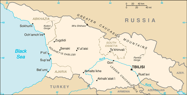
Map and Photos Mt'a Lahili
Comments
Add a new comment: |
Members area
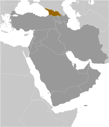
Georgia (Tbilisi):
Advertisement
GPS points near Mt'a Lahili
 Laila Berg (0.5km)
Gora Layla (0.5km)
Gora Lyaila (0.5km)
Lyaila-Lekhel (0.5km)
Gora Lyakhla (0.5km)
Pereval Dzhevaryld (2 km)
Pereval Dzhvaril'd (2 km)
Pereval Zkimbri (2 km)
Pereval Leshkuri (8 km)
Pereval Leshnuri (8 km)
Labskaldi (8 km)
Gora Khachi (8 km)
Lezgaratyube (8 km)
Magardeli (8 km)
Lezgara (9 km)
Gora Atsalar (9 km)
Reka Dalra (9 km)
Laila Berg (0.5km)
Gora Layla (0.5km)
Gora Lyaila (0.5km)
Lyaila-Lekhel (0.5km)
Gora Lyakhla (0.5km)
Pereval Dzhevaryld (2 km)
Pereval Dzhvaril'd (2 km)
Pereval Zkimbri (2 km)
Pereval Leshkuri (8 km)
Pereval Leshnuri (8 km)
Labskaldi (8 km)
Gora Khachi (8 km)
Lezgaratyube (8 km)
Magardeli (8 km)
Lezgara (9 km)
Gora Atsalar (9 km)
Reka Dalra (9 km)
GPS points from Georgia (Tbilisi)
|