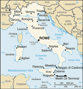
Monte della Fortezza (Grotta del Santo) / Tuscany
42°19'60" N
10°18'0" E
~397m asl
21:46 (CEST - UTC/GMT+2)
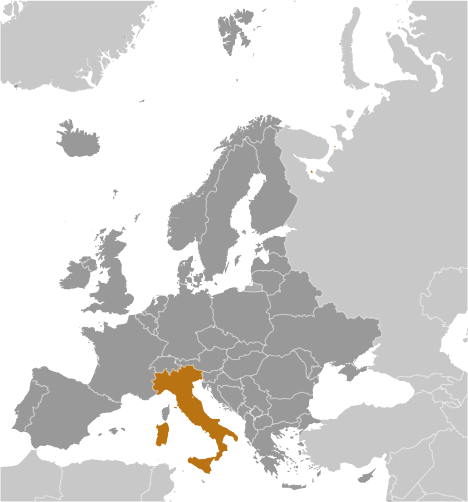
Monte della Fortezza (Monte della Fortezza) is a mountain (class T - Hypsographic) in Tuscany (Italy (general)), Italy (Europe) with the region font code of Americas/Western Europe. It is located at an elevation of 397 meters above sea level.
Monte della Fortezza is also known as Grotta del Santo, Grotto del Santo.
Its coordinates are 42°19'60" N and 10°18'0" E in DMS (Degrees Minutes Seconds) or 42.3333 and 10.3 (in decimal degrees). Its UTM position is PM08 and its Joint Operation Graphics reference is NK32-06.
Current local time is 21:46; the sun rises at 07:53 and sets at 20:00 local time (Europe/Rome UTC/GMT+2). The standard time zone for Monte della Fortezza is UTC/GMT+1, but since Daylight Saving Time (DST) is in effect the current time zone is UTC/GMT+2.
In 2024 DST starts on 31 Mar 2024 and ends on 27 Oct 2024.
A Mountain is an elevation standing high above the surrounding area with small summit area, steep slopes and local relief of 300m or more.
|
Advertisements:
Advertisements:
|
Weather Monte della Fortezza (Cloud cover, Temperature, Wind speed and Precipitation mm probab.)
Sun
Apr 28
16 °C min
17 °C max
15 km/h
Thu Jan 1
|
Mon
Apr 29
16 °C min
18 °C max
13 km/h
Thu Jan 1
|
Tue
Apr 30
16 °C min
18 °C max
13 km/h
Thu Jan 1
|
Wed
May 1
~8 l/m2 72%
15 °C min
17 °C max
49 km/h
Thu Jan 1
|
Thu
May 2
~2 l/m2 43%
15 °C min
17 °C max
29 km/h
Thu Jan 1
|
Fri
May 3
14 °C min
17 °C max
27 km/h
Thu Jan 1
|
|
|
Grotta del Santo (Tuscany) 7 day forecast
Map and Photos Monte della Fortezza
--- There are no comments yet ---
Add a new comment:
|
Members area
Italy (Rome):
Advertisement
GPS points near Monte della Fortezza
GPS points from Italy (Rome)
|
 Montecristo (1 km)