English   Română   Español   Français   Deutsch  

getamap.net

Africa

Oceania

Asia

North America

Europe

South America

Antarctica


Molyneux

(Weekes Estate) / Parish of Saint Anthony

16°43'0" N
62°12'0" W
~466m asl
11:58 (AST - UTC/GMT--4)

Molyneux (Molyneux) is a populated place (class P - Populated Place) in Parish of Saint Anthony (Saint Georges), Montserrat [ United Kingdom ] (North America) with the region font code of Americas/Western Europe. It is located at an elevation of 466 meters above sea level.

Its coordinates are 16°43'0" N and 62°12'0" W in DMS (Degrees Minutes Seconds) or 16.7167 and -62.2 (in decimal degrees). Its UTM position is ND84 and its Joint Operation Graphics reference is NE20-15.

Current local time is 11:58; the sun rises at 08:54 and sets at 21:01 local time (America/Montserrat UTC/GMT-4). The standard time zone for Molyneux is UTC/GMT-4
In 2024 DST starts on - and ends on -.

A Populated place is a city, town, village, or other agglomeration of buildings where people live and work.


Country
 Advertisements:


 Advertisements:


Weather Molyneux (Cloud cover, Temperature, Wind speed and Precipitation mm probab.)

Fri


Apr 26
Clound 20-10-0-70
~2 l/m2 32%
 
27 °C min
28 °C max
32 km/h
Thu Jan 1

Sat


Apr 27
Clound 0-10-20-90
 
26 °C min
28 °C max
30 km/h
Thu Jan 1

Sun


Apr 28
Clound 20-10-80-100 Lightning
~2 l/m2 51%
 
26 °C min
28 °C max
22 km/h
Thu Jan 1

Mon


Apr 29
Clound 30-10-0-10
~7 l/m2 32%
 
26 °C min
27 °C max
27 km/h
Thu Jan 1

Tue


Apr 30
Clound 20-10-30-60 Lightning
~2 l/m2 31%
 
26 °C min
28 °C max
30 km/h
Thu Jan 1

Wed


May 1
Clound 30-10-20-80
~7 l/m2 51%
 
26 °C min
28 °C max
29 km/h
Thu Jan 1

Weather Graph

Weekes Estate (Parish of Saint Anthony) 7 day forecast
 

Map and Photos Molyneux


Comments

--- There are no comments yet ---


Add a new comment:


You have to log in to add a comment!


Members area


Register

Forgot password?

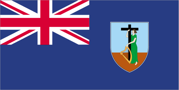
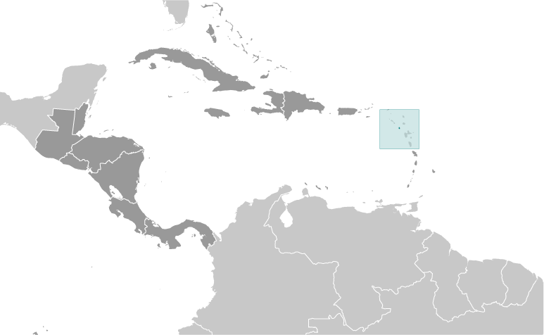
Montserrat [ United Kingdom ] (Overseas Territory):

Advertisement


GPS points near Molyneux

square Aymer's Ghaut (1 km)

square Beech Hill (1 km)

square Cork Hill (1 km)


square Delvins (1 km)

square Dyer's (1 km)

square Elberton (1 km)


square Gun Hill (1 km)

square Hodge's Hill (1 km)

square Lee's Estate (1 km)


square Richmond Hill (1 km)


square Riley's Yard (1 km)

square Sappit River (1 km)


GPS points from Montserrat [ United Kingdom ] (Overseas Territory)

square Drummond's Parish Of Saint Peter

square Center Hills Parish Of Saint Georges

square Swana Ghaut Parish Of Saint Anthony

square Ffryes Parish Of Saint Anthony

square Jones Hill Parish Of Saint Peter

square Smoky Hill Parish Of Saint Georges

square Brades Estate Yard Parish Of Saint Peter

square Blackwood Allen Parish Of Saint Georges


viewweather.com sv.ViewWeather.com
fr.ViewWeather.com
da.ViewWeather.com
de.ViewWeather.com
es.ViewWeather.com
www.carpati.org
www.searchromania.net
Deblocari usi
es.getamap.org
fr.getamap.org
de.getamap.org
nl.getamap.org
da.getamap.org
www.getamap.org
Links
Terms of use
Privacy policy

# 0.0625 sec 

contact AT getamap.net

© 2006 - 2024  https://www.getamap.net/