English   Română   Español   Français   Deutsch  

getamap.net

Africa

Oceania

Asia

North America

Europe

South America

Antarctica


22°9'0" S
166°19'59" E
~47m asl
10:20 (NCT - UTC/GMT+11)

Siombeba (Siombéba) is a stream (class H - Hydrographic) in New Caledonia (general), New Caledonia [ France ] (Oceania) with the region font code of Americas/Western Europe. It is located at an elevation of 47 meters above sea level.

Its coordinates are 22°9'0" S and 166°19'59" E in DMS (Degrees Minutes Seconds) or -22.15 and 166.333 (in decimal degrees). Its UTM position is FA34 and its Joint Operation Graphics reference is SF58-11.

Current local time is 10:20; the sun rises at 08:54 and sets at 21:01 local time (Pacific/Noumea UTC/GMT+11). The standard time zone for Siombeba is UTC/GMT+11
In 2024 DST starts on - and ends on -.

A Stream is a body of running water moving to a lower level in a channel on land.


Country
 Advertisements:


 Advertisements:


Weather Siombéba (Cloud cover, Temperature, Wind speed and Precipitation mm probab.)

Sat


Apr 27
Clound 10-60-0-90
~1 l/m2 30%
 
19 °C min
23 °C max
28 km/h
Thu Jan 1

Sun


Apr 28
Clound 10-20-0-20
 
18 °C min
23 °C max
37 km/h
Thu Jan 1

Mon


Apr 29
Clound 20-40-0-0 Mist
~3 l/m2 32%
 
19 °C min
23 °C max
36 km/h
Thu Jan 1

Tue


Apr 30
Clound 10-40-0-10
 
18 °C min
23 °C max
35 km/h
Thu Jan 1

Wed


May 1
Clound 10-30-0-0
 
18 °C min
23 °C max
30 km/h
Thu Jan 1

Thu


May 2
Clound 20-40-20-50 Mist
~1 l/m2 35%
 
19 °C min
23 °C max
38 km/h
Thu Jan 1

Weather Graph

Siombeba (New Caledonia (general)) 7 day forecast
 

Map and Photos Siombeba


Comments

--- There are no comments yet ---


Add a new comment:


You have to log in to add a comment!


Members area


Register

Forgot password?

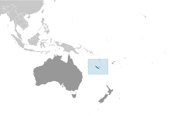
New Caledonia [ France ] (Overseas Territory):

Advertisement


GPS points near Siombéba

square Karikouie (0.5km)

square Siombeba (0.5km)

square Port Laguerre (1 km)


square Catiramono (1 km)

square Katiramona (1 km)

square Katiramono (1 km)


square Nde (3 km)


square Mont Gere (3 km)

square Sommet Gere (3 km)

square Mont Maa (3 km)

square Sommet Maa (3 km)

square Pointe Maa (3 km)

square sommet Coui (3 km)


GPS points from New Caledonia [ France ] (Overseas Territory)

square Omba New Caledonia (general)

square Buadio Riviere New Caledonia (general)

square Circonscription De Poindimie New Caledonia (general)

square Nera New Caledonia (general)

square Ile Totea New Caledonia (general)

square Ile Jacqueline New Caledonia (general)

square West Bampton Reef New Caledonia (general)

square Pinge New Caledonia (general)


viewweather.com sv.ViewWeather.com
fr.ViewWeather.com
da.ViewWeather.com
de.ViewWeather.com
es.ViewWeather.com
www.carpati.org
www.searchromania.net
Deblocari usi
es.getamap.org
fr.getamap.org
de.getamap.org
nl.getamap.org
da.getamap.org
www.getamap.org
Links
Terms of use
Privacy policy

# 0.0622 sec 

contact AT getamap.net

© 2006 - 2024  https://www.getamap.net/