|
|
|
Advertisements:
Administrative divisions (559 GPS Maps)
Comments
Add a new comment: |
Advertisement
Members area
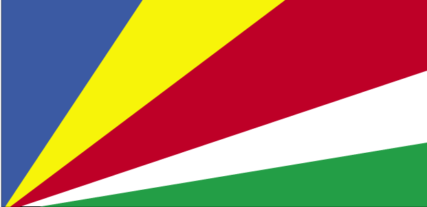
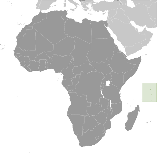
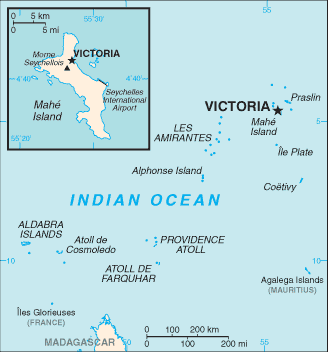
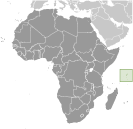
Seychelles (Victoria):
GPS points from Seychelles (Victoria)
|
||||||||
|
|
|
Advertisements:
Administrative divisions (559 GPS Maps)
Comments
Add a new comment: |
Advertisement
Members area
Seychelles (Victoria):
GPS points from Seychelles (Victoria)
|
||||||||
 A lengthy struggle between France and Great Britain for the islands ended in 1814, when they were ceded to the latter. Independence came in 1976. Socialist rule was brought to a close with a new constitution and free elections in 1993. President France-Albert RENE, who had served since 1977, was re-elected in 2001, but stepped down in 2004. Vice President James MICHEL took over the presidency and in July 2006 was elected to a new five-year term; he was reelected in May 2011.