|
|
|
Advertisements:
Administrative divisions (190 GPS Maps)
Comments
Add a new comment: |
Advertisement
Members area
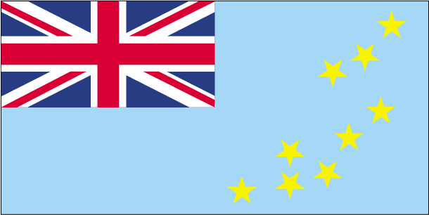
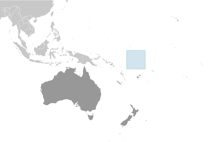
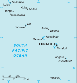
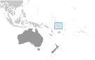
Tuvalu (Funafuti):
GPS points from Tuvalu (Funafuti)
|
||||||||
|
|
|
Advertisements:
Administrative divisions (190 GPS Maps)
Comments
Add a new comment: |
Advertisement
Members area
Tuvalu (Funafuti):
GPS points from Tuvalu (Funafuti)
|
||||||||
 In 1974, ethnic differences within the British colony of the Gilbert and Ellice Islands caused the Polynesians of the Ellice Islands to vote for separation from the Micronesians of the Gilbert Islands. The following year, the Ellice Islands became the separate British colony of Tuvalu. Independence was granted in 1978. In 2000, Tuvalu negotiated a contract leasing its Internet domain name ".tv" for $50 million in royalties over a 12-year period.