|
|
Weather Buôn Chư K'păm (Cloud cover, Temperature, Wind speed and Precipitation mm probab.)
Map and Photos Buon Chu K'pam
Comments
Add a new comment: |
Members area
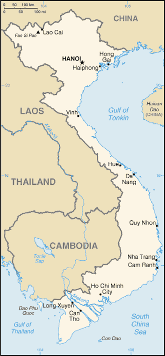
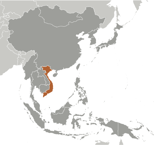
Vietnam (Hanoi):
Advertisement
GPS points near Buôn Chư K'păm
 Buon Chu K'pam (0.5km)
  Ea Lam (1 km)
  Buon Chu Enun (2) (2 km)
  Buon Chu Enun Ngo (2 km)
  Ban Dang Kang (3 km)
  Buon Dang Kang (3 km)
  Buon Chu Enun (1) (4 km)
  Buon Chu Enun Yu (4 km)
  Ea Dray (4 km)
  Ea Dang Kang (4 km)
  Ea Knu San (4 km)
  Ea Krong K'mar (4 km)
  Ea Krong Mar (4 km)
  Chu Krih (5 km)
  Buon Chu Sren (5 km)
  Buon Ti Srenh (5 km)
  Chu Drang (5 km)
GPS points from Vietnam (Hanoi)
|


