|
|
Khirbat Deir Qalus
Weather Khirbat Deir Qalus (Cloud cover, Temperature, Wind speed and Precipitation mm probab.)
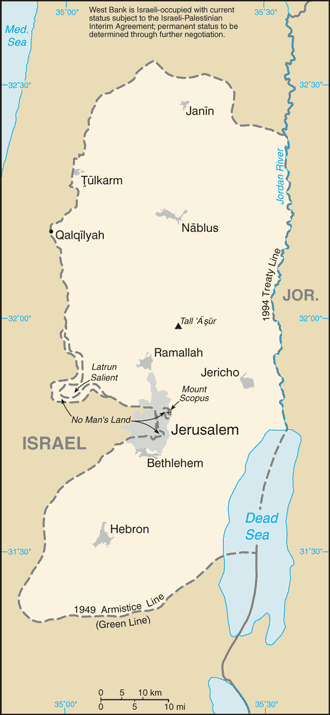
Map and Photos Khirbat Deir Qalus
Comments
Add a new comment: |
Members area
West Bank:
Advertisement
GPS points near Khirbat Deir Qalus
 Ash Shaykh Liqyani (1 km)
  Ash Shaykh Sahm al Layl (1 km)
  Esh Sheikh Liqyahi (1 km)
  Esh Sheikh Liqyani (1 km)
  Esh Sheikh Sahm el Leil (1 km)
  Esh Sheikh Sahn el Leil (1 km)
  Khirbat al Misbah (1 km)
  Khirbat el Misbah (1 km)
  Bir el Laqayina (1 km)
  Bi'r al Laqayinah (1 km)
  Khirbat Bi'r at Tawil (1 km)
  Makkabbim (1 km)
  Makkabim (1 km)
  Khirbat Dhanab al Kalb (1 km)
  Khirbat Dhanab el Kalb (1 km)
  Khirbat Kafr Rasiya (1 km)
  Khirbat Kafr Rasiyah (1 km)
GPS points from West Bank
|


