|
|
Advertisements:
TransportationAirports World Ranking: 100
43 (2012)
Airports - with paved runways
Total 27
Over 3,047 m 6 2,438 to 3,047 m 9 1,524 to 2,437 m 2 914 to 1,523 m 1 Under 914 m 9 (2012) Airports - with unpaved runways
Total 16
Under 914 m 16 (2012) Heliports
1 (2012)
Pipelines
Gas 2,826 km; oil 154 km; refined products 535 km (2010) Railways World Ranking: 55
Total 3,233 km
Standard gauge 3,233 km 1.435-m gauge (2,950 km electrified) (2008) Roadways World Ranking: 32
Total 153,595 km
Paved 120,111 km (includes 1,763 km of expressways) Unpaved 33,484 km (2006)Waterways World Ranking: 42
2,043 km (1,528 km in regular commercial use) (2012) Merchant marine World Ranking: 56
Total 87
By type Bulk carrier 23, cargo 15, chemical tanker 5, container 4, liquefied gas 23, passenger 2, petroleum tanker 8, roll on/roll off 7 Foreign-owned 15 (Denmark 4, France 7, Russia 1, UK 2, US 1) Registered in other countries 107 (Bahamas 6, Cambodia 1, Cyprus 3, France 7, Gibraltar 1, Greece 17, Hong Kong 26, Liberia 1, Luxembourg 11, Malta 7, Marshall Islands 1, Mozambique 2, North Korea 1, Panama 1, Portugal 8, Russia 4, Saint Kitts and Nevis 1, Saint Vincent and the Grenadines 7, Singapore 1, Vanuatu 1) (2010) Ports and terminals
Cargo ports (tonnage)
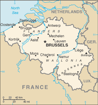
Antwerp, Gent, Liege, Zeebrugge Container ports (TEUs) Antwerp (8,662,891), Zeebrugge (2,209,715)
Comments
Add a new comment: |
Advertisement
Members area
Belgium (Brussels):
 
GPS points from Belgium (Brussels)
|
||||||||

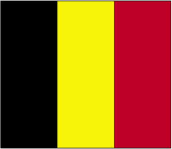
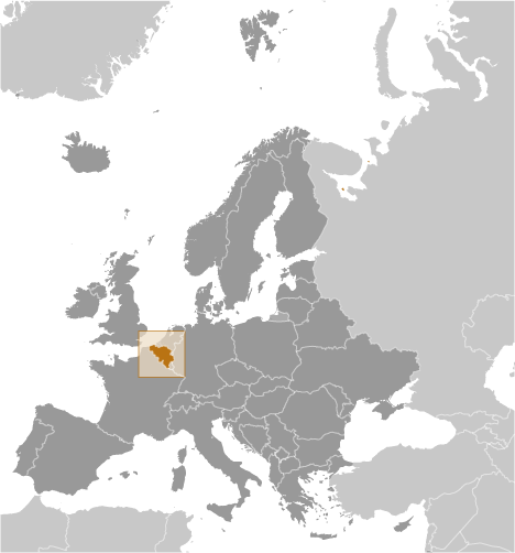
 Belgium became independent from the Netherlands in 1830; it was occupied by Germany during World Wars I and II. The country prospered in the past half century as a modern, technologically advanced European state and member of NATO and the EU. Tensions between the Dutch-speaking Flemings of the north and the French-speaking Walloons of the south have led in recent years to constitutional amendments granting these regions formal recognition and autonomy.