|
|
|
Weather Cap de les Canals de Ribanelles (Cloud cover, Temperature, Wind speed and Precipitation mm probab.)
Map and Photos Cap de les Canals de Ribanelles
Comments
Add a new comment: |
Members area
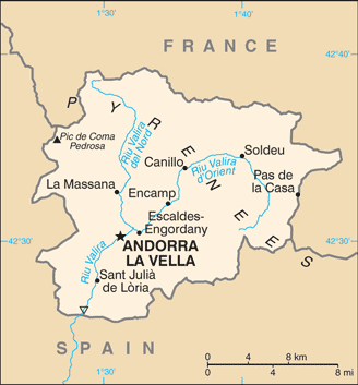
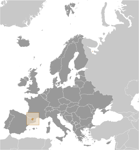
Andorra (Andorra La Vella):
Advertisement
GPS points near Cap de les Canals de...
 Sola de l' Avellanet (1 km)
Font del Baladre (1 km)
Clot de Coma Aubosa (1 km)
Cami de Coma Pedrosa (1 km)
Canal de Costa de l'Avier (1 km)
Bony del Cubil d'Erts (1 km)
Costa del Cubil d'Erts (1 km)
Canal de l' Embut (1 km)
Canal de les Fijoles (1 km)
Canal de la Font (1 km)
Plana de Gral (1 km)
Roc Gros (1 km)
La Caubella (1 km)
Les Obagues (1 km)
Les Pardines (1 km)
Serrat Negre (1 km)
Canal de les Obagues (1 km)
Sola de l' Avellanet (1 km)
Font del Baladre (1 km)
Clot de Coma Aubosa (1 km)
Cami de Coma Pedrosa (1 km)
Canal de Costa de l'Avier (1 km)
Bony del Cubil d'Erts (1 km)
Costa del Cubil d'Erts (1 km)
Canal de l' Embut (1 km)
Canal de les Fijoles (1 km)
Canal de la Font (1 km)
Plana de Gral (1 km)
Roc Gros (1 km)
La Caubella (1 km)
Les Obagues (1 km)
Les Pardines (1 km)
Serrat Negre (1 km)
Canal de les Obagues (1 km)
GPS points from Andorra (Andorra La Vella)
|