|
|
|
Weather Pic del Cubil (Cloud cover, Temperature, Wind speed and Precipitation mm probab.)
Map and Photos Pic del Cubil
Comments
Add a new comment: |
Members area
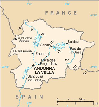
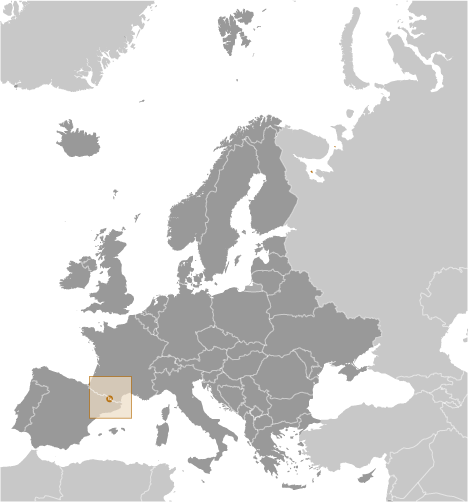
Andorra (Andorra La Vella):
Advertisement
GPS points near Pic del Cubil
 Fontanal de l' Ascladella (1 km)
Serrat de l' Ascladella (1 km)
Vial del Bec (1 km)
Bosc del Bornal (1 km)
Bosc dels Coms (1 km)
Serrat de Corpalanca (1 km)
Pla de la Cot (1 km)
Les Feixes (1 km)
Fontanal Llarg (1 km)
Tossal Momo (1 km)
Bosc de Pal (1 km)
Bosc del Pla de la Cot (1 km)
Bosc del Prat del Bosc (1 km)
Pont del Prat del Bosc (1 km)
Bosc del Prat de l'Estel (1 km)
Fontanal de les Roques (1 km)
Cami de Sispony (1 km)
Fontanal de l' Ascladella (1 km)
Serrat de l' Ascladella (1 km)
Vial del Bec (1 km)
Bosc del Bornal (1 km)
Bosc dels Coms (1 km)
Serrat de Corpalanca (1 km)
Pla de la Cot (1 km)
Les Feixes (1 km)
Fontanal Llarg (1 km)
Tossal Momo (1 km)
Bosc de Pal (1 km)
Bosc del Pla de la Cot (1 km)
Bosc del Prat del Bosc (1 km)
Pont del Prat del Bosc (1 km)
Bosc del Prat de l'Estel (1 km)
Fontanal de les Roques (1 km)
Cami de Sispony (1 km)
GPS points from Andorra (Andorra La Vella)
|