|
|
|
Weather El Palinqueró (Cloud cover, Temperature, Wind speed and Precipitation mm probab.)
Map and Photos El Palinquero
Comments
Add a new comment: |
Members area
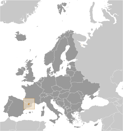
Andorra (Andorra La Vella):
Advertisement
GPS points near El Palinqueró
 Baladosa (1 km)
Coma Bella (1 km)
Pleta dels Borrecs (1 km)
Planell de Campillar (1 km)
Clots de l'Os (1 km)
Pala dels Clots d'Entinyac (1 km)
Tosa de Coma Bella (1 km)
Clots d' Entinyac (1 km)
Clots de les Fonts (1 km)
Obac d'Incles (1 km)
Clots de l' Os (1 km)
Tosa d'Incles (1 km)
Vall d'Incles (1 km)
Riu de l' Abeurador (1 km)
Canal de l' Avetar (1 km)
Sola de Barra (1 km)
Borda de l'Alma (1 km)
Baladosa (1 km)
Coma Bella (1 km)
Pleta dels Borrecs (1 km)
Planell de Campillar (1 km)
Clots de l'Os (1 km)
Pala dels Clots d'Entinyac (1 km)
Tosa de Coma Bella (1 km)
Clots d' Entinyac (1 km)
Clots de les Fonts (1 km)
Obac d'Incles (1 km)
Clots de l' Os (1 km)
Tosa d'Incles (1 km)
Vall d'Incles (1 km)
Riu de l' Abeurador (1 km)
Canal de l' Avetar (1 km)
Sola de Barra (1 km)
Borda de l'Alma (1 km)
GPS points from Andorra (Andorra La Vella)
|