|
|
|
Weather Serrat de La Llonga (Cloud cover, Temperature, Wind speed and Precipitation mm probab.)
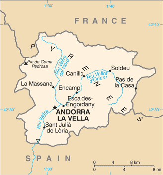
Map and Photos Serrat de La Llonga
Comments
Add a new comment: |
Members area
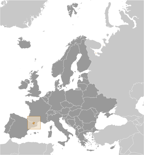
Andorra (Andorra La Vella):
Advertisement
GPS points near Serrat de La Llonga
 Costa de l' Aubell (1 km)
Bosc del Becet (1 km)
Obaga del Bony de la Costa (1 km)
Camp de la Trava (1 km)
Camp del Remugar (1 km)
Cort Cremada (1 km)
Bosc de les Corts (1 km)
Font de la Costa de l'Avier (1 km)
El Bosquet (1 km)
El Carregador (1 km)
El Remugar (1 km)
Els Aubells (1 km)
El Turer (1 km)
Bosc de la Fita (1 km)
La Boixosa (1 km)
La Clota (1 km)
La Trava (1 km)
Costa de l' Aubell (1 km)
Bosc del Becet (1 km)
Obaga del Bony de la Costa (1 km)
Camp de la Trava (1 km)
Camp del Remugar (1 km)
Cort Cremada (1 km)
Bosc de les Corts (1 km)
Font de la Costa de l'Avier (1 km)
El Bosquet (1 km)
El Carregador (1 km)
El Remugar (1 km)
Els Aubells (1 km)
El Turer (1 km)
Bosc de la Fita (1 km)
La Boixosa (1 km)
La Clota (1 km)
La Trava (1 km)
GPS points from Andorra (Andorra La Vella)
|