T'ai-p'ing-p'u
38°56'34" N
100°36'50" E
20:24 (CST - UTC/GMT+8)
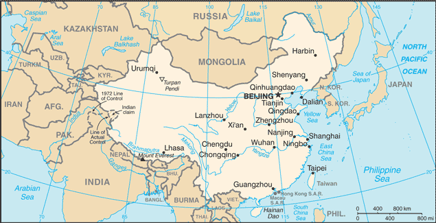
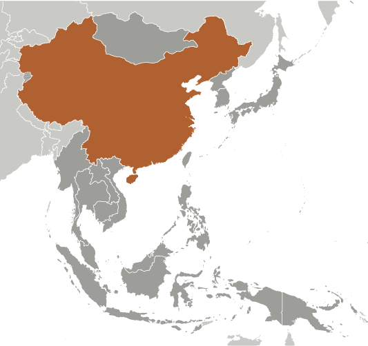
T'ai-p'ing-p'u (T'ai-p'ing-p'u) is a populated place (class P - Populated Place) in (Gansu), China (Asia) with the region font code of Asia/Pacific.
Its coordinates are 38°56'34" N and 100°36'50" E in DMS (Degrees Minutes Seconds) or 38.9428 and 100.614 (in decimal degrees). Its UTM position is PD31 and its Joint Operation Graphics reference is NJ47-08.
Current local time is 20:24; the sun rises at 08:54 and sets at 21:01 local time (Asia/Chongqing UTC/GMT+8). The standard time zone for T'ai-p'ing-p'u is UTC/GMT+8
In 2024 DST starts on - and ends on -.
A Populated place is a city, town, village, or other agglomeration of buildings where people live and work.
|
Advertisements:
Advertisements:
|
Weather T'ai-p'ing-p'u (Cloud cover, Temperature, Wind speed and Precipitation mm probab.)
Sat
Apr 27
9 °C min
17 °C max
26 km/h
Thu Jan 1
|
Sun
Apr 28
7 °C min
12 °C max
27 km/h
Thu Jan 1
|
Mon
Apr 29
5 °C min
14 °C max
22 km/h
Thu Jan 1
|
Tue
Apr 30
6 °C min
17 °C max
19 km/h
Thu Jan 1
|
Wed
May 1
7 °C min
20 °C max
16 km/h
Thu Jan 1
|
Thu
May 2
10 °C min
23 °C max
18 km/h
Thu Jan 1
|
|
|
Map and Photos T'ai-p'ing-p'u
--- There are no comments yet ---
Add a new comment:
|
Members area
China (Beijing):
Advertisement
GPS points near T'ai-p'ing-p'u
GPS points from China (Beijing)
|