|
|
|
Sangtianda Ling
Weather Sangtianda Ling (Cloud cover, Temperature, Wind speed and Precipitation mm probab.)
Map and Photos Sangtianda Ling
Comments
Add a new comment: |
Members area
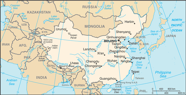
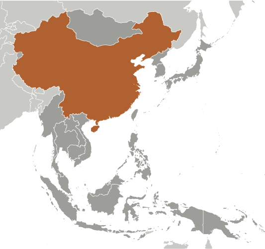
China (Beijing):
Advertisement
GPS points near Sangtianda Ling
 Sangtianda Ling (0.5km)
Hua'nanrezuoliangyuan (3 km)
Dongfengnongchang (3 km)
Baodao (4 km)
Lo-nan (4 km)
Luonan (4 km)
Xiqingnongchang (5 km)
Shahe Shuiku (5 km)
Youlun (6 km)
Xinlong (7 km)
Nanchen Nongchang (7 km)
Xiliannongchang (7 km)
Chan-hsien (8 km)
Dan Xian (8 km)
Danxian (8 km)
Danzhou (8 km)
Danzhou Shi (8 km)
Sangtianda Ling (0.5km)
Hua'nanrezuoliangyuan (3 km)
Dongfengnongchang (3 km)
Baodao (4 km)
Lo-nan (4 km)
Luonan (4 km)
Xiqingnongchang (5 km)
Shahe Shuiku (5 km)
Youlun (6 km)
Xinlong (7 km)
Nanchen Nongchang (7 km)
Xiliannongchang (7 km)
Chan-hsien (8 km)
Dan Xian (8 km)
Danxian (8 km)
Danzhou (8 km)
Danzhou Shi (8 km)
GPS points from China (Beijing)
|