|
|
|
Renhe
Weather Renhe (Cloud cover, Temperature, Wind speed and Precipitation mm probab.)
Map and Photos Renhe
Comments
Add a new comment: |
Members area
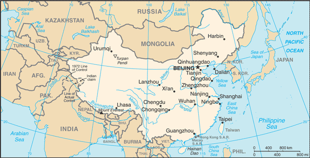
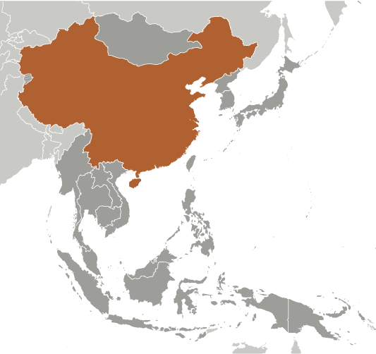
China (Beijing):
Advertisement
GPS points near Renhe
 Songji (7 km)
Lo-ho Shih (9 km)
Luohe Shi (9 km)
Lo-he (9 km)
Lo-ho (9 km)
Lo-ho-chai (9 km)
Lo-ho-shih (9 km)
Luohe (9 km)
T'a-ho (9 km)
T'a-ho-chai (9 km)
Li He (11 km)
Li Ho (11 km)
Wo-kou-ying (11 km)
Wugouying (11 km)
Wu-kou-ying (11 km)
Hsi-p'ing Hsien (11 km)
Xiping Xian (11 km)
Songji (7 km)
Lo-ho Shih (9 km)
Luohe Shi (9 km)
Lo-he (9 km)
Lo-ho (9 km)
Lo-ho-chai (9 km)
Lo-ho-shih (9 km)
Luohe (9 km)
T'a-ho (9 km)
T'a-ho-chai (9 km)
Li He (11 km)
Li Ho (11 km)
Wo-kou-ying (11 km)
Wugouying (11 km)
Wu-kou-ying (11 km)
Hsi-p'ing Hsien (11 km)
Xiping Xian (11 km)
GPS points from China (Beijing)
|