|
|
|
Kan-t'ang-tzu
Weather Kan-t'ang-tzu (Cloud cover, Temperature, Wind speed and Precipitation mm probab.)
Map and Photos Kan-t'ang-tzu
Comments
Add a new comment: |
Members area
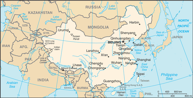
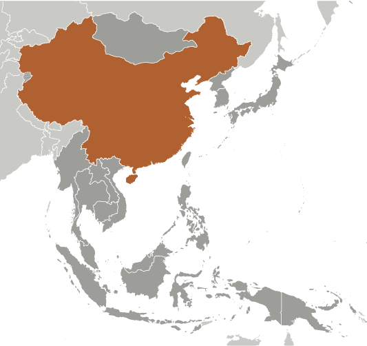
China (Beijing):
Advertisement
GPS points near Kan-t'ang-tzu
 Gantang (0.5km)
Kan-t'ang (0.5km)
Kan-t'ang-tzu (0.5km)
Hsiao-hung-shan (8 km)
Xiaohongshan (8 km)
Ulan Obo (11 km)
Gantang (0.5km)
Kan-t'ang (0.5km)
Kan-t'ang-tzu (0.5km)
Hsiao-hung-shan (8 km)
Xiaohongshan (8 km)
Ulan Obo (11 km)
GPS points from China (Beijing)
|