42°54'48" N
43°17'14" E
~3,407m asl
08:00 (GET - UTC/GMT+4)
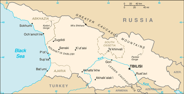
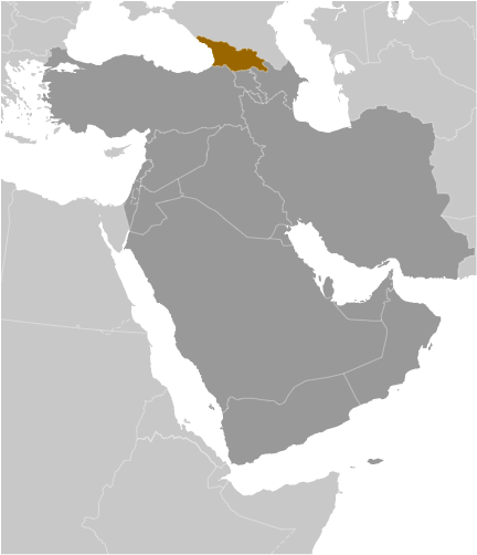
Sharivts'ekis Ugheltekhili (Sharivts'ekis Ugheltekhili) is a pass (class T - Hypsographic) in Georgia (general), Georgia (Asia) with the region font code of Russia/ Central Asia. It is located at an elevation of 3,407 meters above sea level.
Sharivts'ekis Ugheltekhili is also known as Pereval Sharivtsek, Sharivts'ekis Ugheltekhili, Sharivts’ekis Ugheltekhili.
Its coordinates are 42°54'48" N and 43°17'14" E in DMS (Degrees Minutes Seconds) or 42.9133 and 43.2872 (in decimal degrees). Its UTM position is LN65 and its Joint Operation Graphics reference is NK38-04.
Current local time is 08:00; the sun rises at 08:53 and sets at 21:00 local time (Asia/Tbilisi UTC/GMT+4). The standard time zone for Sharivts'ekis Ugheltekhili is UTC/GMT+4
In 2024 DST starts on - and ends on -.
A Pass is a break in a mountain range or other high obstruction, used for transportation from one side to the other [See also gap].
|
Advertisements:
Advertisements:
|
Weather Sharivts'ekis Ugheltekhili (Cloud cover, Temperature, Wind speed and Precipitation mm probab.)
Sun
Apr 28
3 °C min
4 °C max
7 km/h
Thu Jan 1
|
Mon
Apr 29
~1 l/m2 13%
-3 °C min
8 °C max
12 km/h
Thu Jan 1
|
Tue
Apr 30
~4 l/m2 30%
1 cm (Snow)
-4 °C min
6 °C max
11 km/h
Thu Jan 1
|
Wed
May 1
~3 l/m2 38%
1-2 cm (Snow)
-4 °C min
6 °C max
12 km/h
Thu Jan 1
|
Thu
May 2
~16 l/m2 81%
9-16 cm (Snow)
-5 °C min
-2 °C max
10 km/h
Thu Jan 1
|
Fri
May 3
~19 l/m2 82%
11-19 cm (Snow)
-7 °C min
-4 °C max
7 km/h
Thu Jan 1
|
|
|
Pereval Sharivtsek (Georgia (general)) 7 day forecast
Map and Photos Sharivts'ekis Ugheltekhili
--- There are no comments yet ---
Add a new comment:
|
Members area
Georgia (Tbilisi):
Advertisement
GPS points near Sharivts'ekis Ugheltekhili
GPS points from Georgia (Tbilisi)
|
 P'asismt'a (4 km)