|
|
|
Weather Susàns (Cloud cover, Temperature, Wind speed and Precipitation mm probab.)
Map and Photos Susans
Comments
Add a new comment: |
Members area
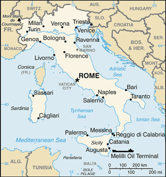
Italy (Rome):
Advertisement
GPS points near Susàns
 San Tomaso (1 km)
Comerzo (2 km)
San Floreano (2 km)
Maiano (2 km)
Riu Leder (2 km)
Fiume Ledra (2 km)
Torrente Ledra (2 km)
Cascina Gentilini (2 km)
Rivoli di Osoppo (2 km)
Canale Ledra (2 km)
Canale Ledra Tagliamento (2 km)
Casasoia (3 km)
Farla (3 km)
Tomba (3 km)
Muris (3 km)
Bronzacco (3 km)
Cornino (4 km)
San Tomaso (1 km)
Comerzo (2 km)
San Floreano (2 km)
Maiano (2 km)
Riu Leder (2 km)
Fiume Ledra (2 km)
Torrente Ledra (2 km)
Cascina Gentilini (2 km)
Rivoli di Osoppo (2 km)
Canale Ledra (2 km)
Canale Ledra Tagliamento (2 km)
Casasoia (3 km)
Farla (3 km)
Tomba (3 km)
Muris (3 km)
Bronzacco (3 km)
Cornino (4 km)
GPS points from Italy (Rome)
|