|
|
|
Weather Bindo (Cloud cover, Temperature, Wind speed and Precipitation mm probab.)
Map and Photos Bindo
Comments
Add a new comment: |
Members area
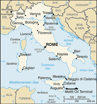
Italy (Rome):
Advertisement
GPS points near Bindo
 Taceno (2 km)
Alpe Grasso (3 km)
Valsassina (3 km)
Esino Lario (3 km)
Casargo (3 km)
Regoledo (4 km)
Primaluna (4 km)
Pagnona (6 km)
Bellano (6 km)
Como (6 km)
Lago di Como (6 km)
Lake Como (6 km)
Lake of Como (6 km)
Lario (6 km)
Larius Lacus (6 km)
Varenna (6 km)
Premana (6 km)
Taceno (2 km)
Alpe Grasso (3 km)
Valsassina (3 km)
Esino Lario (3 km)
Casargo (3 km)
Regoledo (4 km)
Primaluna (4 km)
Pagnona (6 km)
Bellano (6 km)
Como (6 km)
Lago di Como (6 km)
Lake Como (6 km)
Lake of Como (6 km)
Lario (6 km)
Larius Lacus (6 km)
Varenna (6 km)
Premana (6 km)
GPS points from Italy (Rome)
|