|
|
|
Weather La Cagnoletta (Cloud cover, Temperature, Wind speed and Precipitation mm probab.)
Map and Photos La Cagnoletta
Comments
Add a new comment: |
Members area
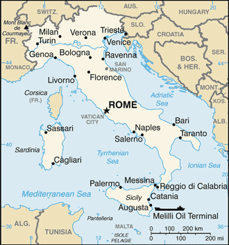
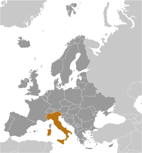
Italy (Rome):
Advertisement
GPS points near La Cagnoletta
 Fosso Sambro (1 km)
Topino (1 km)
Fiume Topino (1 km)
Bettona (1 km)
Brufa (2 km)
Umbria (3 km)
Regione Umbria (3 km)
Chiagio (4 km)
Fiume Chiagio (4 km)
Fiume Chiascio (4 km)
Torgiano (4 km)
Costano (4 km)
Tordandrea (5 km)
Monte Veduta del Lago (5 km)
Ospedalicchio (5 km)
Perugia (5 km)
Provincia di Perugia (5 km)
Fosso Sambro (1 km)
Topino (1 km)
Fiume Topino (1 km)
Bettona (1 km)
Brufa (2 km)
Umbria (3 km)
Regione Umbria (3 km)
Chiagio (4 km)
Fiume Chiagio (4 km)
Fiume Chiascio (4 km)
Torgiano (4 km)
Costano (4 km)
Tordandrea (5 km)
Monte Veduta del Lago (5 km)
Ospedalicchio (5 km)
Perugia (5 km)
Provincia di Perugia (5 km)
GPS points from Italy (Rome)
|