|
|
|
Weather Cima d' Ambata (Cloud cover, Temperature, Wind speed and Precipitation mm probab.)
Map and Photos Cima d' Ambata
Comments
Add a new comment: |
Members area
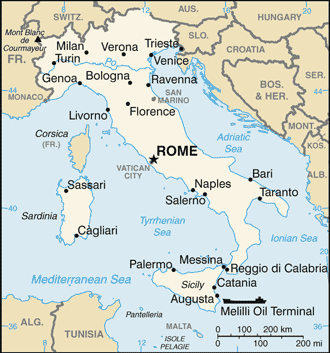
Italy (Rome):
Advertisement
GPS points near Cima d' Ambata
 Cima Bagni (0.5km)
Colle dei Bagni (0.5km)
Monte Popera (1 km)
Forcella d' Ambata (2 km)
Tabia d'Ambata (2 km)
Punta Agnello (2 km)
Cima Undici (2 km)
Croda da Campo (3 km)
Lago Cadin (3 km)
Cima dei Toni (3 km)
Giralba (4 km)
Valle Marzon (4 km)
Croda Rossa (4 km)
Lago Aiarnola (4 km)
Monte Rusiana (5 km)
Reane (5 km)
Risena (5 km)
Cima Bagni (0.5km)
Colle dei Bagni (0.5km)
Monte Popera (1 km)
Forcella d' Ambata (2 km)
Tabia d'Ambata (2 km)
Punta Agnello (2 km)
Cima Undici (2 km)
Croda da Campo (3 km)
Lago Cadin (3 km)
Cima dei Toni (3 km)
Giralba (4 km)
Valle Marzon (4 km)
Croda Rossa (4 km)
Lago Aiarnola (4 km)
Monte Rusiana (5 km)
Reane (5 km)
Risena (5 km)
GPS points from Italy (Rome)
|