|
|
|
Weather Hangadu (Cloud cover, Temperature, Wind speed and Precipitation mm probab.)
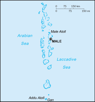
Map and Photos Hangadu
Comments
Add a new comment: |
Members area
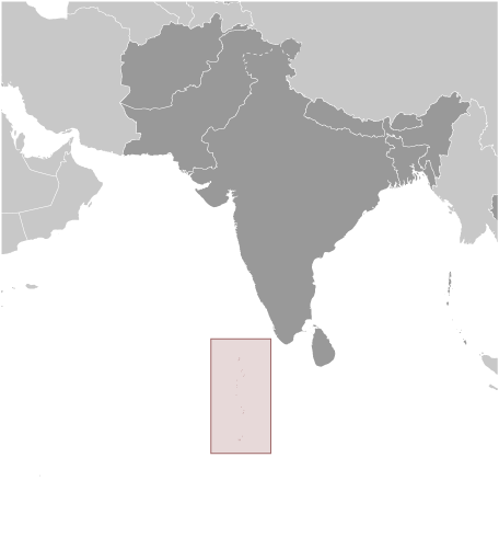
Maldives (Male):
Advertisement
GPS points near Hangadu
 Maradhoo (1 km)
Maradu (1 km)
Marudu (1 km)
Gaukedi (1 km)
Abuhera (2 km)
Ruehi-hera (2 km)
Ruhjehi Hura (2 km)
Rujjeheraa (2 km)
Bondo Hajara (3 km)
Faidu (4 km)
Fedu (4 km)
Feydhoo (4 km)
Sawahli (4 km)
Kudu Kanda Channel (4 km)
Kudu Kandu Channel (4 km)
Bushey Island (5 km)
Bushy Islet (5 km)
Maradhoo (1 km)
Maradu (1 km)
Marudu (1 km)
Gaukedi (1 km)
Abuhera (2 km)
Ruehi-hera (2 km)
Ruhjehi Hura (2 km)
Rujjeheraa (2 km)
Bondo Hajara (3 km)
Faidu (4 km)
Fedu (4 km)
Feydhoo (4 km)
Sawahli (4 km)
Kudu Kanda Channel (4 km)
Kudu Kandu Channel (4 km)
Bushey Island (5 km)
Bushy Islet (5 km)
GPS points from Maldives (Male)
|