|
|
|
Weather Borangar (Cloud cover, Temperature, Wind speed and Precipitation mm probab.)
Map and Photos Borangar
Comments
Add a new comment: |
Members area
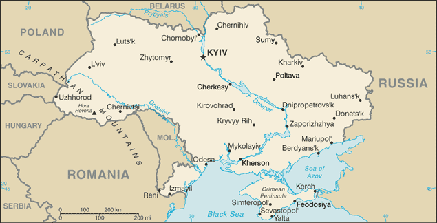
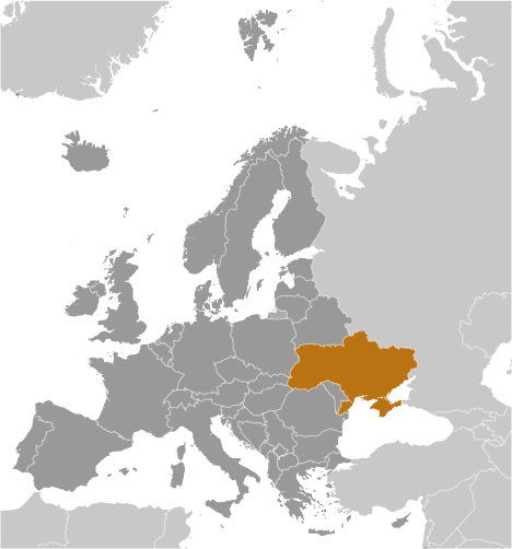
Ukraine (Kiev):
Advertisement
GPS points near Borangar
 Stantsiya... (1 km)
Tashly-Dair (1 km)
Tashlyk-Dair (1 km)
Tashlyk-Dayr (1 km)
Malaya Balka (3 km)
Tashly-Dair (3 km)
Tashly-Dayr (3 km)
Adzhi-Mambet (3 km)
Baglikovo (3 km)
Itak (4 km)
Kenigez Itak (4 km)
Lozhbinnoye (4 km)
Dubrovskoye (5 km)
Molla-Eli (5 km)
Mulla-Eli (5 km)
Novo-Pokrovka (5 km)
Stantsiya... (1 km)
Stantsiya... (1 km)
Tashly-Dair (1 km)
Tashlyk-Dair (1 km)
Tashlyk-Dayr (1 km)
Malaya Balka (3 km)
Tashly-Dair (3 km)
Tashly-Dayr (3 km)
Adzhi-Mambet (3 km)
Baglikovo (3 km)
Itak (4 km)
Kenigez Itak (4 km)
Lozhbinnoye (4 km)
Dubrovskoye (5 km)
Molla-Eli (5 km)
Mulla-Eli (5 km)
Novo-Pokrovka (5 km)
GPS points from Ukraine (Kiev)
|