|
|
|
Weather Kolobatino (Cloud cover, Temperature, Wind speed and Precipitation mm probab.)
Map and Photos Kolobatino
Comments
Add a new comment: |
Members area
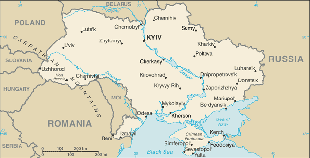
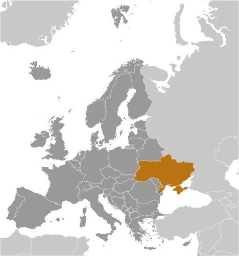
Ukraine (Kiev):
Advertisement
GPS points near Kolobatino
 Kamenka (5 km)
Bolgarka (6 km)
Sukhodol (6 km)
Krasnoye (7 km)
Andreyevka (7 km)
Andreyevo-Zorino (7 km)
Zorinovka (7 km)
Berezanka (7 km)
Suvorovo (7 km)
Tiligulo-Berezanka (7 km)
Tiligulo-Berezannya (7 km)
Turchanov (7 km)
Turnanov (7 km)
Vasil'yevka (8 km)
Vasil'yevka-Zorina (8 km)
Vil'gel'mstal' (8 km)
Wilhelmstad (8 km)
Kamenka (5 km)
Bolgarka (6 km)
Sukhodol (6 km)
Krasnoye (7 km)
Andreyevka (7 km)
Andreyevo-Zorino (7 km)
Zorinovka (7 km)
Berezanka (7 km)
Suvorovo (7 km)
Tiligulo-Berezanka (7 km)
Tiligulo-Berezannya (7 km)
Turchanov (7 km)
Turnanov (7 km)
Vasil'yevka (8 km)
Vasil'yevka-Zorina (8 km)
Vil'gel'mstal' (8 km)
Wilhelmstad (8 km)
GPS points from Ukraine (Kiev)
|