|
|
|
Gora Temnalik
Weather Gora Temnalik (Cloud cover, Temperature, Wind speed and Precipitation mm probab.)
Map and Photos Gora Temnalik
Comments
Add a new comment: |
Members area
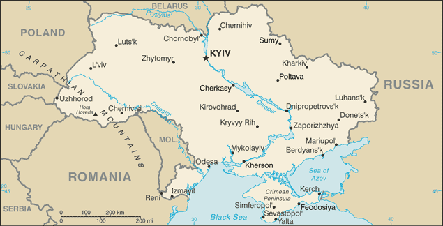
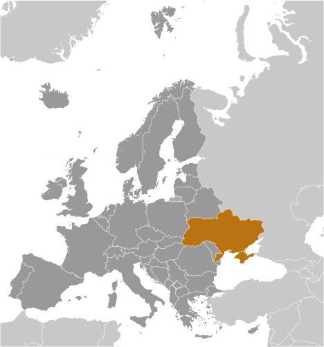
Ukraine (Kiev):
Advertisement
GPS points near Gora Temnalik
 Volovec (3 km)
Volovets (3 km)
Stantsiya Zan'ka (4 km)
Gora Buzhora (5 km)
Gukliva (5 km)
Guklivyy (5 km)
Hukliva (5 km)
Huklive (5 km)
Huklivy (5 km)
Huklyvyy (5 km)
Gora Ryapushka (6 km)
Gora Velikiy Verkh (6 km)
Gora Velikiy Vrkh (6 km)
Osa (6 km)
Gora Velikiy Pogar (6 km)
Gora Stoy (7 km)
Verkhni Vorota (7 km)
Volovec (3 km)
Volovets (3 km)
Stantsiya Zan'ka (4 km)
Gora Buzhora (5 km)
Gukliva (5 km)
Guklivyy (5 km)
Hukliva (5 km)
Huklive (5 km)
Huklivy (5 km)
Huklyvyy (5 km)
Gora Ryapushka (6 km)
Gora Velikiy Verkh (6 km)
Gora Velikiy Vrkh (6 km)
Osa (6 km)
Gora Velikiy Pogar (6 km)
Gora Stoy (7 km)
Verkhni Vorota (7 km)
GPS points from Ukraine (Kiev)
|