|
|
|
Weather Vasilëvo (Cloud cover, Temperature, Wind speed and Precipitation mm probab.)
Map and Photos Vasilevo
Comments
Add a new comment: |
Members area
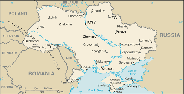
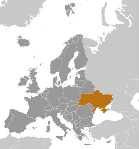
Ukraine (Kiev):
Advertisement
GPS points near Vasilëvo
 Dvorishche (2 km)
Netreba (2 km)
Maydan (2 km)
Maydan Golyshevskiy (2 km)
Borovske Budki (5 km)
Borovskiye Budki (5 km)
Borowskie Budki (5 km)
Budki Borovskiye (5 km)
Zaderev'ye (5 km)
Okop (5 km)
Mostyshche (6 km)
Dolgan' (8 km)
Zherelo (8 km)
Charna-Nivka (8 km)
Cherna Niva (8 km)
Czarna Niwka (8 km)
Borove (10 km)
Dvorishche (2 km)
Netreba (2 km)
Maydan (2 km)
Maydan Golyshevskiy (2 km)
Borovske Budki (5 km)
Borovskiye Budki (5 km)
Borowskie Budki (5 km)
Budki Borovskiye (5 km)
Zaderev'ye (5 km)
Okop (5 km)
Mostyshche (6 km)
Dolgan' (8 km)
Zherelo (8 km)
Charna-Nivka (8 km)
Cherna Niva (8 km)
Czarna Niwka (8 km)
Borove (10 km)
GPS points from Ukraine (Kiev)
|