|
|
|
Weather Meliklar (Cloud cover, Temperature, Wind speed and Precipitation mm probab.)
Map and Photos Meliklar
Comments
Add a new comment: |
Members area
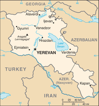
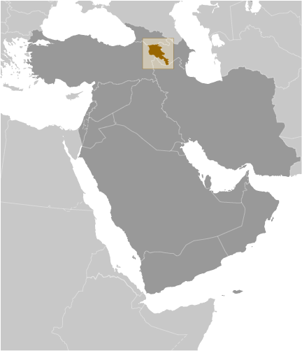
Armenia (Yerevan):
Advertisement
GPS points near Meliklar
 Gora Kechaberg (2 km)
Gora Kochaberk (2 km)
Sarnakunk (3 km)
Sarrnakunk' (3 km)
Saybalu (3 km)
Arygli-chay (5 km)
Aryglychay (5 km)
Shagat (5 km)
Shaghat' (5 km)
Shagat (6 km)
Shaghat (6 km)
Angeghakot' (6 km)
Angekhakot (6 km)
Angelaut (6 km)
Gora Kirmizi-Dag (6 km)
Mukhortoryan (6 km)
Mukhurtoryan (6 km)
Gora Kechaberg (2 km)
Gora Kochaberk (2 km)
Sarnakunk (3 km)
Sarrnakunk' (3 km)
Saybalu (3 km)
Arygli-chay (5 km)
Aryglychay (5 km)
Shagat (5 km)
Shaghat' (5 km)
Shagat (6 km)
Shaghat (6 km)
Angeghakot' (6 km)
Angekhakot (6 km)
Angelaut (6 km)
Gora Kirmizi-Dag (6 km)
Mukhortoryan (6 km)
Mukhurtoryan (6 km)
GPS points from Armenia (Yerevan)
|