|
|
|
Weather `Ālī (Cloud cover, Temperature, Wind speed and Precipitation mm probab.)
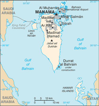
Map and Photos `Ali
Comments
Add a new comment: |
Members area
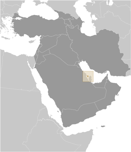
Bahrain (Manama):
Advertisement
GPS points near `Ālī
 Huwais (1 km)
Khuwais (1 km)
Khuways (1 km)
Khadhra (2 km)
`Ayn al Khadra' (2 km)
Buri (2 km)
`Ayn Khuways (2 km)
Central Region (2 km)
Al Mintaqah al Wusta (2 km)
Salambad (2 km)
Salmabad (2 km)
Radham al-Qawari (2 km)
Radm al Kawari (2 km)
Radm al Qawari (2 km)
Al-Rifa` al Gharbi (3 km)
Ar Rifa` al Gharbi (3 km)
Rifaa Al Gharbi (3 km)
Huwais (1 km)
Khuwais (1 km)
Khuways (1 km)
Khadhra (2 km)
`Ayn al Khadra' (2 km)
Buri (2 km)
`Ayn Khuways (2 km)
Central Region (2 km)
Al Mintaqah al Wusta (2 km)
Salambad (2 km)
Salmabad (2 km)
Radham al-Qawari (2 km)
Radm al Kawari (2 km)
Radm al Qawari (2 km)
Al-Rifa` al Gharbi (3 km)
Ar Rifa` al Gharbi (3 km)
Rifaa Al Gharbi (3 km)
GPS points from Bahrain (Manama)
|