English   Română   Español   Français   Deutsch  

getamap.net

Africa

Oceania

Asia

North America

Europe

South America

Antarctica


Administrative divisions (GPS Maps)

Geography

People and Society

Government

Economy

Communications

Transportation

Military


The eastern half of the island of New Guinea - second largest in the world - was divided between Germany (north) and the UK (south) in 1885. The latter area was transferred to Australia in 1902, which occupied the northern portion during World War I and continued to administer the combined areas until independence in 1975. A nine-year secessionist revolt on the island of Bougainville ended in 1997 after claiming some 20,000 lives.


Advertisements:

Advertisements Advertisements


Administrative divisions (28,145 GPS Maps)


Comments


Add a new comment:


You have to log in to add a comment!


Advertisement


Members area


Register

Forgot password?

Papua New Guinea (Port Moresby):
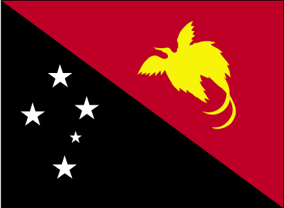
Country Flag
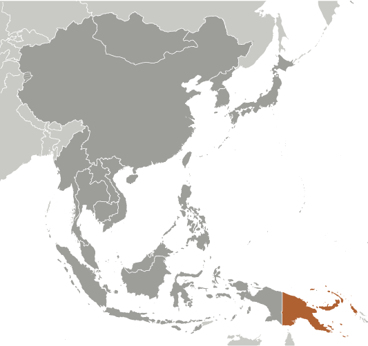
Country Locator

GPS points from Papua New Guinea (Port Moresby)

square Gun Number 2 Madang Province

square Dagua Lagoon East Sepik Province

square Weioko Bay Milne Bay Province

square Maputma East Sepik Province

square Watwat East New Britain Province

square August River Sandaun Province

square Gelbikaumo Chimbu Province

square Cape Djeruen Sandaun Province


viewweather.com sv.ViewWeather.com
fr.ViewWeather.com
da.ViewWeather.com
de.ViewWeather.com
es.ViewWeather.com
www.carpati.org
www.searchromania.net
Deblocari usi
es.getamap.org
fr.getamap.org
de.getamap.org
nl.getamap.org
da.getamap.org
www.getamap.org
Links
Terms of use
Privacy policy

# 0.0257 sec 

contact AT getamap.net

© 2006 - 2024  https://www.getamap.net/