English   Română   Español   Français   Deutsch  

getamap.net

Africa

Oceania

Asia

North America

Europe

South America

Antarctica


Kotido (23 GPS points)


Alerek
Alerek

populated place
Kacheri
Kacheri

populated place
Kalapata
Kalapata

populated place
Karenga
Karenga

populated place
Koputh
Koputh

populated place
Kotido
Kotido

first-order administrative division
Kotido
Kotido

seat of a first-order administrative division
Kotido District
Kotidodistrict

first-order administrative division
Labwor Hills
Labworhills

forest(s)
Labwor Hills Forest
Labworhillsforest

forest(s)
Loitanit
Loitanit

populated place
Lolelia
Lolelia

populated place
Lomei
Lomei

populated place
Loyoro
Loyoro

populated place
Motoro
Motoro

mountain
Opotipot
Opotipot

populated place
Panvangara
Panvangara

populated place
Panyangara
Panyangara

populated place
Pirre
Pirre

populated place
Taan
Taan

populated place


Advertisements Advertisements


Taan Valley
Taanvalley

populated place
Timu Forest
Timuforest

forest(s)
Wiawer
Wiawer

populated place
# 23 

Comments

--- There are no comments yet ---


Add a new comment:


You have to log in to add a comment!


Advertisement


Members area


Register

Forgot password?

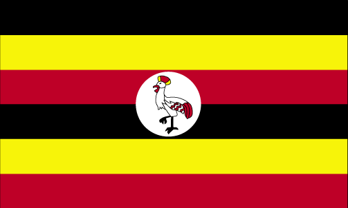
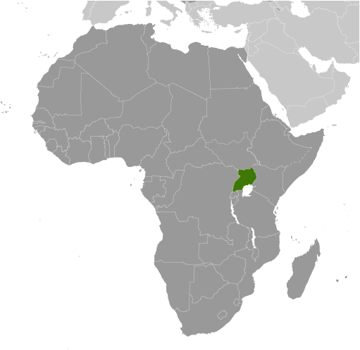
Uganda (Kampala):
Country Flag
Country Locator

GPS points from Uganda (Kampala)

square Nvuba Uganda (general)

square Yidu Arua District

square Kamese Soroti District

square Mulemba Uganda (general)

square Lake Mikera Uganda (general)

square Kirinya Uganda (general)

square Mpondwe Uganda (general)

square Oluffe Arua District


viewweather.com sv.ViewWeather.com
fr.ViewWeather.com
da.ViewWeather.com
de.ViewWeather.com
es.ViewWeather.com
www.carpati.org
www.searchromania.net
Deblocari usi
es.getamap.org
fr.getamap.org
de.getamap.org
nl.getamap.org
da.getamap.org
www.getamap.org
Links
Terms of use
Privacy policy

# 0.9734 sec 

contact AT getamap.net

© 2006 - 2024  https://www.getamap.net/