46°24'0" N
31°45'0" E
~15m asl
01:54 (EEST - UTC/GMT+3)
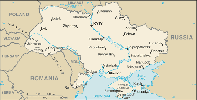
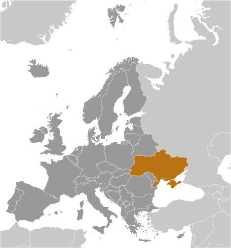
Ostrov Dolgiy (Ostrov Dolgiy) is a island (class T - Hypsographic) in Ukraine (general), Ukraine (Europe) with the region font code of Eastern Europe. It is located at an elevation of 15 meters above sea level.
Ostrov Dolgiy is also known as Dolghi Island, Dolgi Island, Ostrov Dolgiy.
Its coordinates are 46°24'0" N and 31°45'0" E in DMS (Degrees Minutes Seconds) or 46.4 and 31.75 (in decimal degrees). Its UTM position is VS03 and its Joint Operation Graphics reference is NL36-04.
Current local time is 01:54; the sun rises at 07:53 and sets at 20:00 local time (Europe/Kiev UTC/GMT+3). The standard time zone for Ostrov Dolgiy is UTC/GMT+2, but since Daylight Saving Time (DST) is in effect the current time zone is UTC/GMT+3.
In 2024 DST starts on 31 Mar 2024 and ends on 27 Oct 2024.
A Island is a tract of land, smaller than a continent, surrounded by water at high water.
|
Advertisements:
Advertisements:
|
Weather Ostrov Dolgiy (Cloud cover, Temperature, Wind speed and Precipitation mm probab.)
Sun
Apr 28
~1 l/m2 58%
13 °C min
15 °C max
8 km/h
Thu Jan 1
|
Mon
Apr 29
13 °C min
17 °C max
35 km/h
Thu Jan 1
|
Tue
Apr 30
12 °C min
17 °C max
38 km/h
Thu Jan 1
|
Wed
May 1
13 °C min
16 °C max
37 km/h
Thu Jan 1
|
Thu
May 2
13 °C min
17 °C max
26 km/h
Thu Jan 1
|
Fri
May 3
13 °C min
18 °C max
16 km/h
Thu Jan 1
|
|
|
Ostrov Dolgiy (Ukraine (general)) 7 day forecast
Map and Photos Ostrov Dolgiy
--- There are no comments yet ---
Add a new comment:
|
Members area
Ukraine (Kiev):
Advertisement
GPS points near Ostrov Dolgiy
GPS points from Ukraine (Kiev)
 Peski Chernihivs'ka Oblast'
|